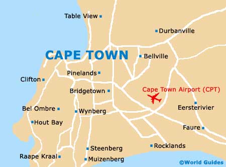
Cape Town International Airport (CPT)
Orientation and Maps
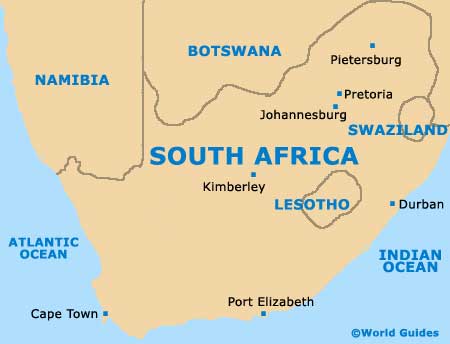
(Cape Town, South Africa)
Cape Town and the Peninsula is home to a population of more than three million and has long been one of South Africa's most visited cities. Close to the coastline and the Cape of Good Hope, the city unusually features a large mountain in the heart of the centre, known locally in Cape Town as Table Mountain.
One the eastern outskirts of the city, Cape Town Airport (CPT) is the region's main airport and is connected by regular shuttle buses and taxis. To the south of Cape Town you will find many nearby towns worth exploring, such as Bridgetown, Hout Bay, Kirstenhof and Wynberg.
Cape Town Airport (CPT) Maps: Important City Districts
The main area of commerce in Cape Town is referred to as the 'City Bowl' and is situated on the northern side of Table Mountain. Many interesting inner-city neighbourhoods are within easy walking distance of this part of Cape Town, such as Gardens, Oranjezicht and Tamboerskloof. Also nearby are a number of coastal districts, including the Green Point, Sea Point and Signal Point areas.
Cape Town is without doubt a spreading city and extends far into the north-east. In this area, the Bloubergstrand district lies next to the ocean. The vast Canal Walk shopping centre can also be found in this part of Cape Town and is one of the main attractions here.
Africa Map

South Africa Map
Cape Town Map